File:Shinkansenmap.png
From TrainSpottingWorld, for Rail fans everywhere
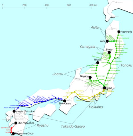
Size of this preview: 467 × 479 pixels. Other resolutions: 234 × 240 pixels | 1,345 × 1,380 pixels.
Original file (1,345 × 1,380 pixels, file size: 239 KB, MIME type: image/png)
| Description |
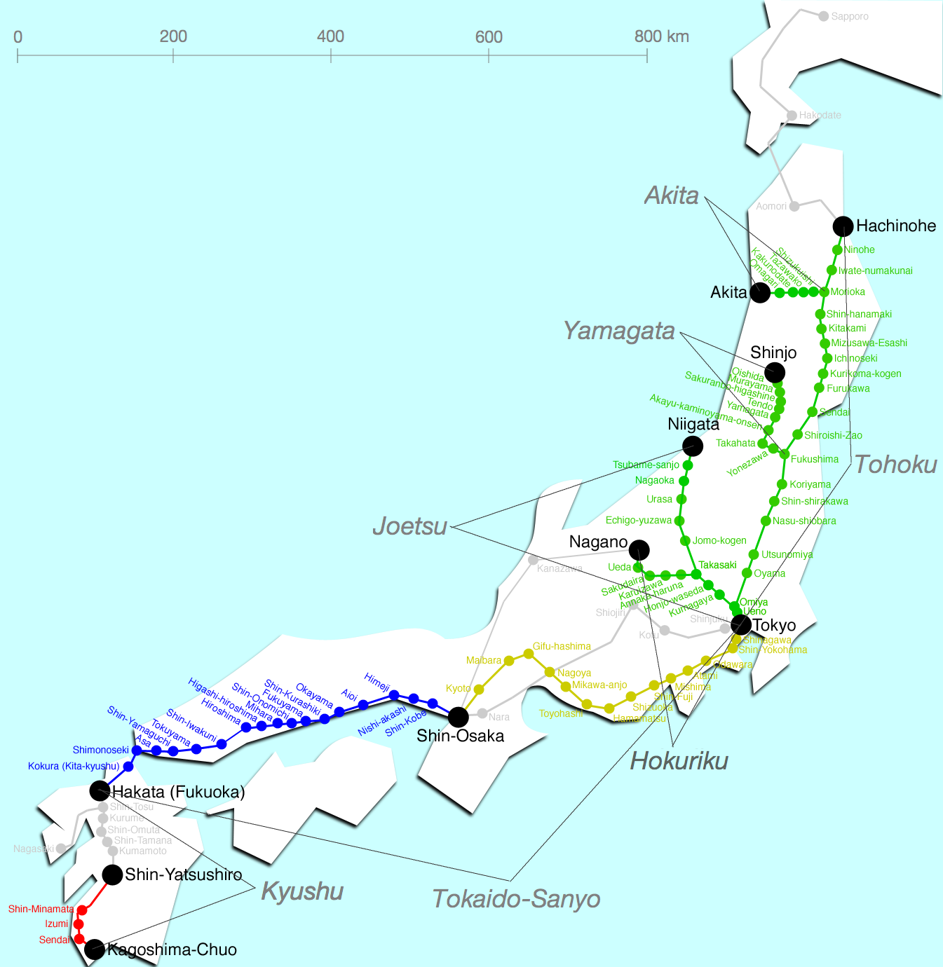
Map of Shinkansen network Template:Fi Template:It Template:Nl Template:Pl |
|---|---|
| Source | |
| Date |
Unknown |
| Author | |
| Permission (Reusing this image) |
File history
Click on a date/time to view the file as it appeared at that time.
| Date/Time | Thumbnail | Dimensions | User | Comment | |
|---|---|---|---|---|---|
| current | 22:01, 15 February 2007 | | 1,345 × 1,380 (239 KB) | Admin (talk | contribs) | {{Information |Description=Map of Shinkansen network {{fi|Kartta, johon Tōkaidō Shinkansen on merkitty keltaisella.}} {{it|Shinkansen mappa delle linee}} {{nl|Kaart van de lijnen}} {{pl|Mapa sieci kolejowej Shinkansen}} |Source=en:Image:Shinkansenmap.png |Date=Unknown |Author=Sekicho |Permission={{PD-user-en|Sekicho}} }} Category:Railroad maps of Japan Category:Shinkansen |
- You cannot overwrite this file.
File usage
The following page links to this file:
