File:BayRidgeAnnap.jpg
Summary
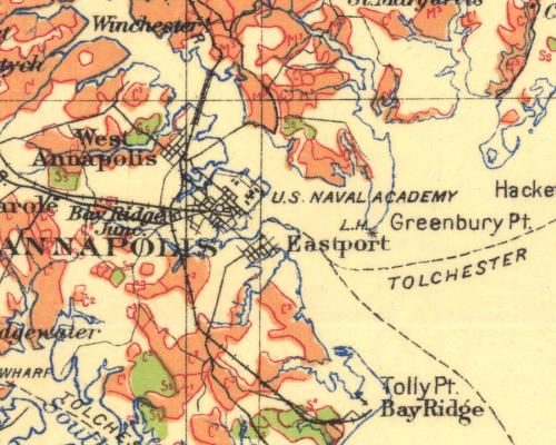
This is a cut out portion of this map
Main Author: Besley, FW Title/Description: Maryland Forest Areas by Commercial Type, Anne Arundel County Publication Info: Maryland Board of Forestry, 1915 Date: 1915 Scale: 1:187,500 Original Source: University of Alabama Map Library
Found at this site: http://alabamamaps.ua.edu/historicalmaps/us_states/maryland/index.html
Licensing
This image is in the public domain in the United States. In most cases, this means that it was first published in the United States prior to January 1, 1923 . Other jurisdictions may have other rules, and this image might not be in the public domain outside the United States. See public domain and Copyrights for more details.
File history
Click on a date/time to view the file as it appeared at that time.
| Date/Time | Thumbnail | Dimensions | User | Comment | |
|---|---|---|---|---|---|
| current | 03:34, 16 February 2007 | | 500 × 400 (54 KB) | Admin (talk | contribs) | == Summary == This is a cut out portion of this map Main Author: Besley, FW Title/Description: Maryland Forest Areas by Commercial Type, Anne Arundel County Publication Info: Maryland Board of Forestry, 1915 Date: 1915 Scale: 1:187,500 Original Source: University of Alabama Map Library Found at this site: http://alabamamaps.ua.edu/historicalmaps/us_states/maryland/index.html == Licensing == {{PD-US}} |
- You cannot overwrite this file.
File usage
The following page links to this file:
