File:West-london-line-diagram.svg
From TrainSpottingWorld, for Rail fans everywhere

Size of this PNG preview of this SVG file: 290 × 270 pixels. Other resolution: 258 × 240 pixels.
Original file (SVG file, nominally 290 × 270 pixels, file size: 22 KB)
Summary
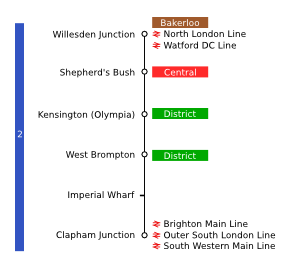
Line map of the West London Line (including stations under construction) showing connections and travelcard zones.
Licensing

I, the creator of this work, hereby grant the permission to copy, distribute and/or modify this document under the terms of the GNU Free Documentation License, Version 1.2 or any later version published by the Free Software Foundation; with no Invariant Sections, no Front-Cover Texts, and no Back-Cover Texts.
Subject to disclaimers.
File history
Click on a date/time to view the file as it appeared at that time.
| Date/Time | Thumbnail | Dimensions | User | Comment | |
|---|---|---|---|---|---|
| current | 04:02, 16 February 2007 | | 290 × 270 (22 KB) | Admin (talk | contribs) | == Summary == Line map of the West London Line (including stations under construction) showing connections and travelcard zones. == Licensing == {{GFDL-self}} |
- You cannot overwrite this file.
File usage
The following page links to this file:
