File:TalyllynRailwayMap.png
From TrainSpottingWorld, for Rail fans everywhere
Size of this preview: 640 × 416 pixels. Other resolutions: 320 × 208 pixels | 1,897 × 1,233 pixels.
Original file (1,897 × 1,233 pixels, file size: 107 KB, MIME type: image/png)
Summary
| Description |
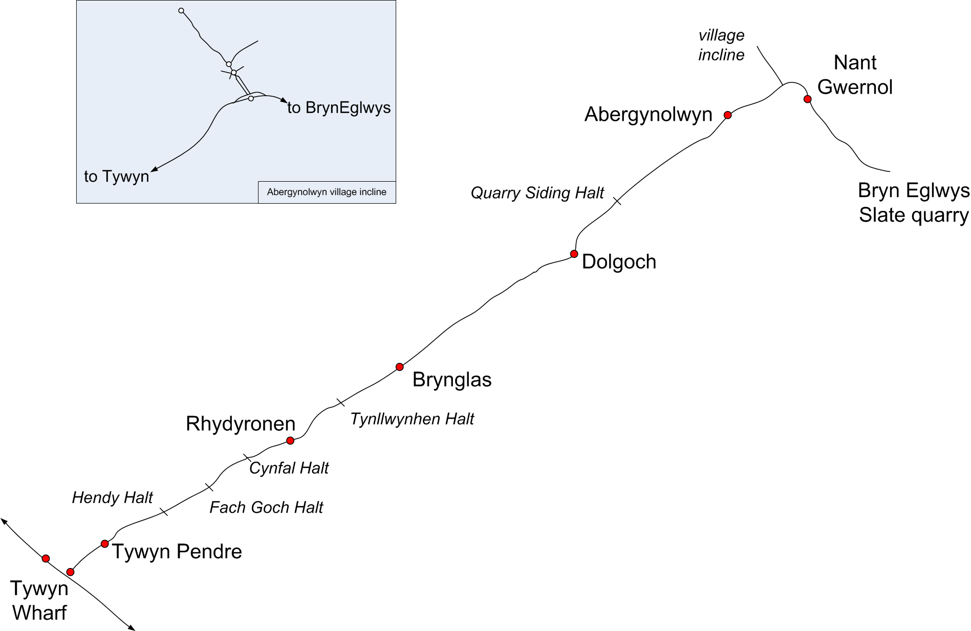
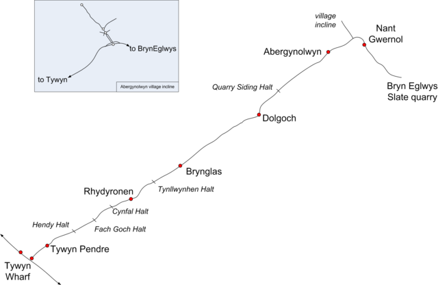
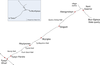
Map of the Talyllyn Railway |
|---|---|
| Source | No source specified. Please edit this image description and provide a source. |
| Date |
September 15, 2006 |
| Author |
Dan Crow |
| Permission (Reusing this image) |
See below. |
Licensing
 Permission is granted to copy, distribute and/or modify this document under the terms of the GNU Free Documentation License, Version 1.2 or any later version published by the Free Software Foundation; with no Invariant Sections, no Front-Cover Texts, and no Back-Cover Texts. |
File history
Click on a date/time to view the file as it appeared at that time.
| Date/Time | Thumbnail | Dimensions | User | Comment | |
|---|---|---|---|---|---|
| current | 00:31, 16 February 2007 | | 1,897 × 1,233 (107 KB) | Admin (talk | contribs) | == Summary == {{Information |Description=Map of the Talyllyn Railway |Date=September 15, 2006 |Author=Dan Crow }} == Licensing == {{self|GFDL}} |
- You cannot overwrite this file.
File usage
The following page links to this file:
