File:L&bmapimage.jpg
From TrainSpottingWorld, for Rail fans everywhere
Size of this preview: 480 × 479 pixels. Other resolutions: 240 × 240 pixels | 902 × 901 pixels.
Original file (902 × 901 pixels, file size: 165 KB, MIME type: image/jpeg)
Summary
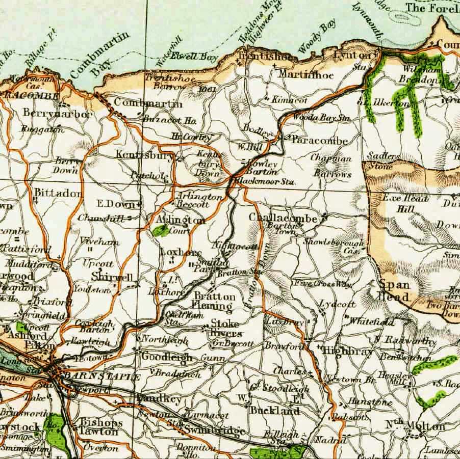
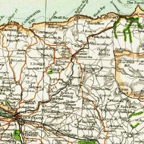
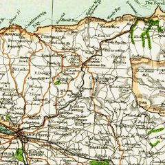
Extract from a 19th Century map of the route of the Lynton & Barnstaple railway (1898-1935)
Licensing
This image is in the public domain in the United States. In most cases, this means that it was first published in the United States prior to January 1, 1923 . Other jurisdictions may have other rules, and this image might not be in the public domain outside the United States. See public domain and Copyrights for more details.
File history
Click on a date/time to view the file as it appeared at that time.
| Date/Time | Thumbnail | Dimensions | User | Comment | |
|---|---|---|---|---|---|
| current | 04:17, 16 February 2007 | | 902 × 901 (165 KB) | Admin (talk | contribs) | == Summary == Extract from a 19th Century map of the route of the Lynton & Barnstaple railway (1898-1935) == Licensing == {{PD-US}} |
- You cannot overwrite this file.
File usage
The following page links to this file:
