File:Hoekselijn.png
From TrainSpottingWorld, for Rail fans everywhere
No higher resolution available.
Hoekselijn.png (538 × 318 pixels, file size: 19 KB, MIME type: image/png)
Summary
Summary
| Description |
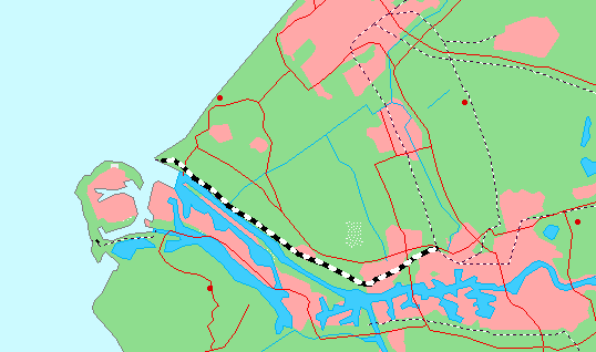
kaart van het tracé van de Hoekse Lijn |
|---|---|
| Source |
Gebaseerd op kaart van http://www.demis.nl/wms/mapclip.htm (vrije software gebaseerd op vrije database) |
| Date | |
| Author | |
| Permission (Reusing this image) |
See below. |
== Beschrijving ==
Licensing

Permission is granted to copy, distribute and/or modify this document under the terms of the GNU Free Documentation License, Version 1.2 or any later version published by the Free Software Foundation; with no Invariant Sections, no Front-Cover Texts, and no Back-Cover Texts.
Subject to disclaimers.
File history
Click on a date/time to view the file as it appeared at that time.
| Date/Time | Thumbnail | Dimensions | User | Comment | |
|---|---|---|---|---|---|
| current | 02:57, 16 February 2007 | | 538 × 318 (19 KB) | Admin (talk | contribs) | == Summary == == Summary == {{Information| |Description=kaart van het tracé van de Hoekse Lijn |Source=Gebaseerd op kaart van http://www.demis.nl/wms/mapclip.htm (vrije software gebaseerd op vrije database) |Date= |Author=nl:Gebruiker:Michiel1972 |Permission= |other_versions= }}== Beschrijving == Category:South Holland Category:Railways in the Netherlands == Licensing == {{GFDL}} |
- You cannot overwrite this file.
File usage
The following page links to this file:
