File:British Rail York to Leeds via Harrogate diagram map.png
From TrainSpottingWorld, for Rail fans everywhere
Size of this preview: 234 × 479 pixels. Other resolutions: 117 × 240 pixels | 785 × 1,607 pixels.
Original file (785 × 1,607 pixels, file size: 95 KB, MIME type: image/png)
Summary
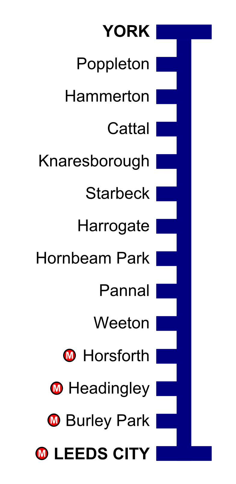
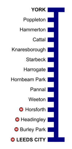
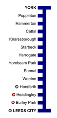
Diagram map of British Rail York to Leeds via Harrogate line as it is today (showing only open stations) with West Yorkshire PTE 'Metro' stations indicated.
Licensing
I, the creator of this work, hereby release it into the public domain. This applies worldwide.
In case this is not legally possible,
I grant any entity the right to use this work for any purpose, without any conditions, unless such conditions are required by law.
File history
Click on a date/time to view the file as it appeared at that time.
| Date/Time | Thumbnail | Dimensions | User | Comment | |
|---|---|---|---|---|---|
| current | 01:51, 16 February 2007 | | 785 × 1,607 (95 KB) | Admin (talk | contribs) | == Summary == Diagram map of British Rail York to Leeds via Harrogate line as it is today (showing only open stations) with West Yorkshire PTE 'Metro' stations indicated. == Licensing == {{PD-self}} Category:Railway maps of United Kingdom |
- You cannot overwrite this file.
File usage
The following page links to this file:
